
Inform

Construction intelligence for

Technical evidence and visual communication that help project teams understand progress, explain change and document delivery.


With you at every stage of the project.

Connected aerial insight and content from the first site appraisal to the finished project—and into the work you win next. Select a stage to explore.

Plan: establish the starting point.

Understand the site before mobilisation and give planning, design and stakeholder teams clear visual context.

  • Planning imagery and wider aerial context for applications and discussions
  • Visual backdrops for CGI, renders and proposed-development graphics
  • Pre-demolition records highlighting access constraints, visible hazards and existing conditions
  • A permanent record of the site before work begins

Survey: turn the site into useful data.

Capture measurable information suited to the project brief, from initial site understanding to repeatable technical records.

  • Topographic information and targeted construction measurements
  • Photogrammetry, mapped imagery and 3D site models
  • Initial reality-capture baselines for comparison as work develops
  • Outputs planned around the accuracy, format and decisions required

Build: support confident delivery.

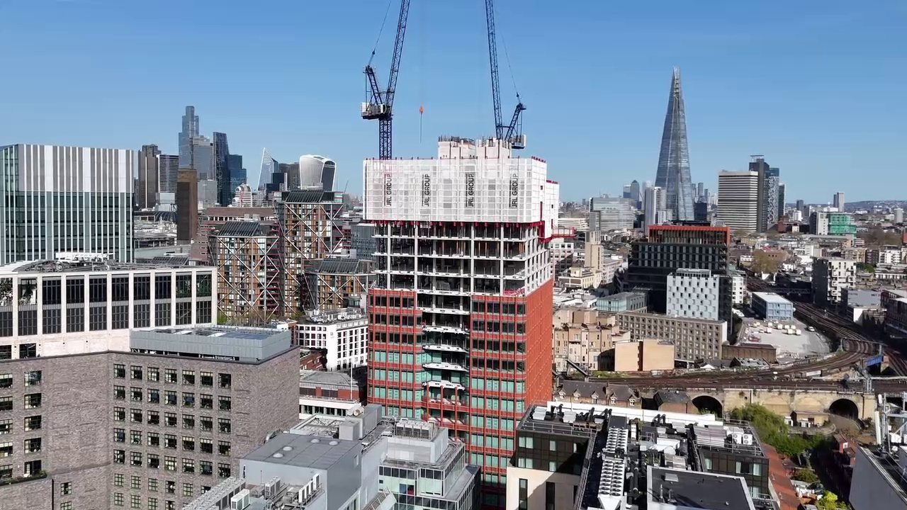
Use current aerial information to help project teams understand site conditions, coordinate work and respond as construction changes.

  • Current site imagery to support coordination and project decisions
  • Targeted inspection and measurement of active work areas
  • Reality capture and design context as the project takes shape
  • Flexible visits focused on the immediate needs of the site team

Monitor: make progress clear.

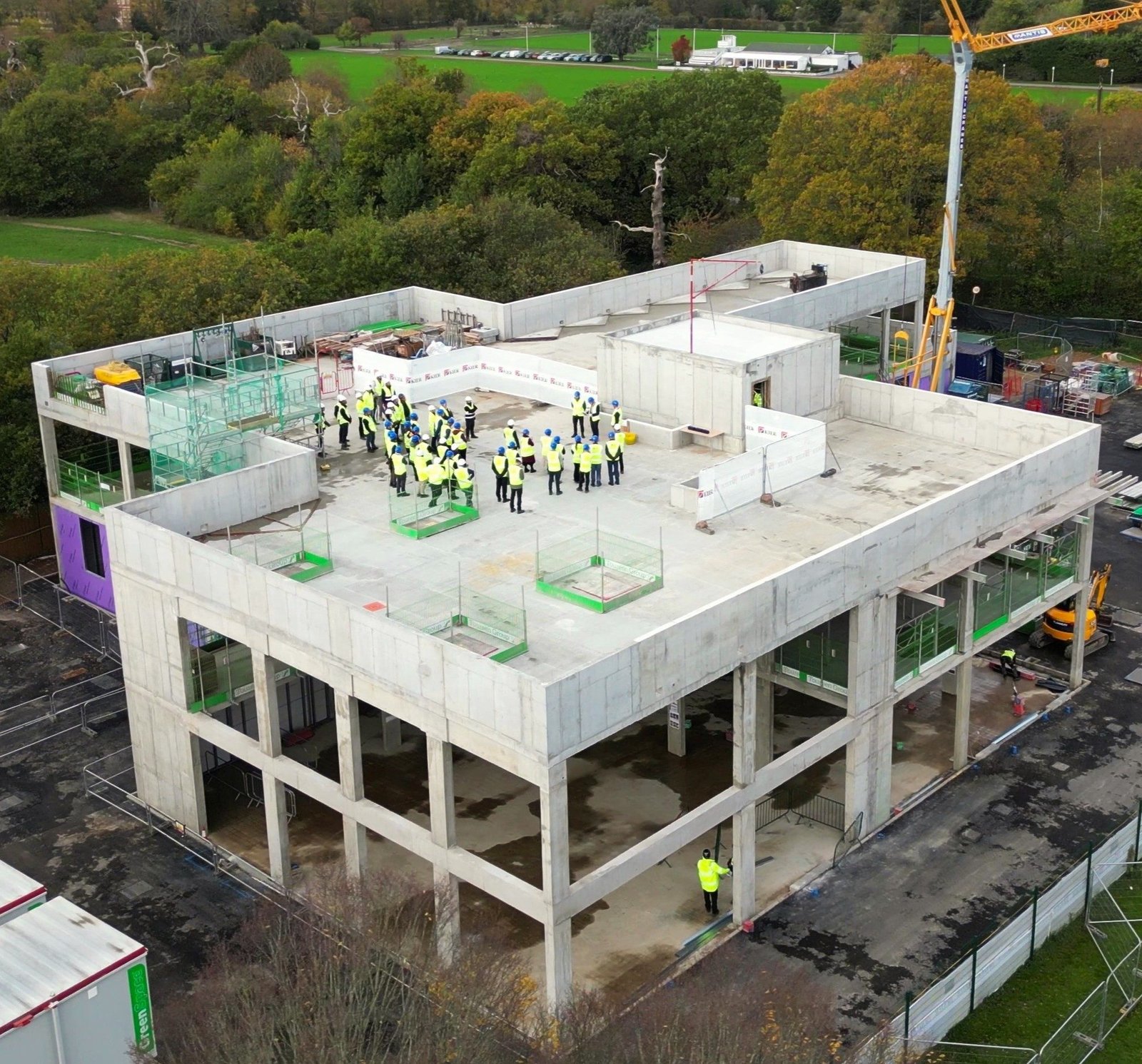
Repeat consistent capture throughout delivery so progress can be reviewed, evidenced and communicated to everyone involved.

  • Regular client, investor and stakeholder progress updates
  • Comparable aerial viewpoints and repeat reality capture over time
  • Visual records of milestones, changing conditions and completed work
  • Drone-lapse sequences and clear content for project communications

Sell: turn delivery into opportunity.

Present the completed project with photography and film that supports sales, leasing, awards, case studies and future bids.

  • Finished-project aerial photography, video and location context
  • Property marketing content for websites, campaigns and social channels
  • A project story showing not only what you built, but how you built it
  • Demonstrate successful delivery, win the next project and begin the cycle again
CAA licensed
Qualified commercial operations
£5m insurance
Specialist aviation cover
Drone Permits
For City Locations
Site risk planning
Purposeful pre-flight assessment

Understand the site before work begins.

Create a reliable picture of the site, its surroundings and its existing condition before decisions become expensive to change.
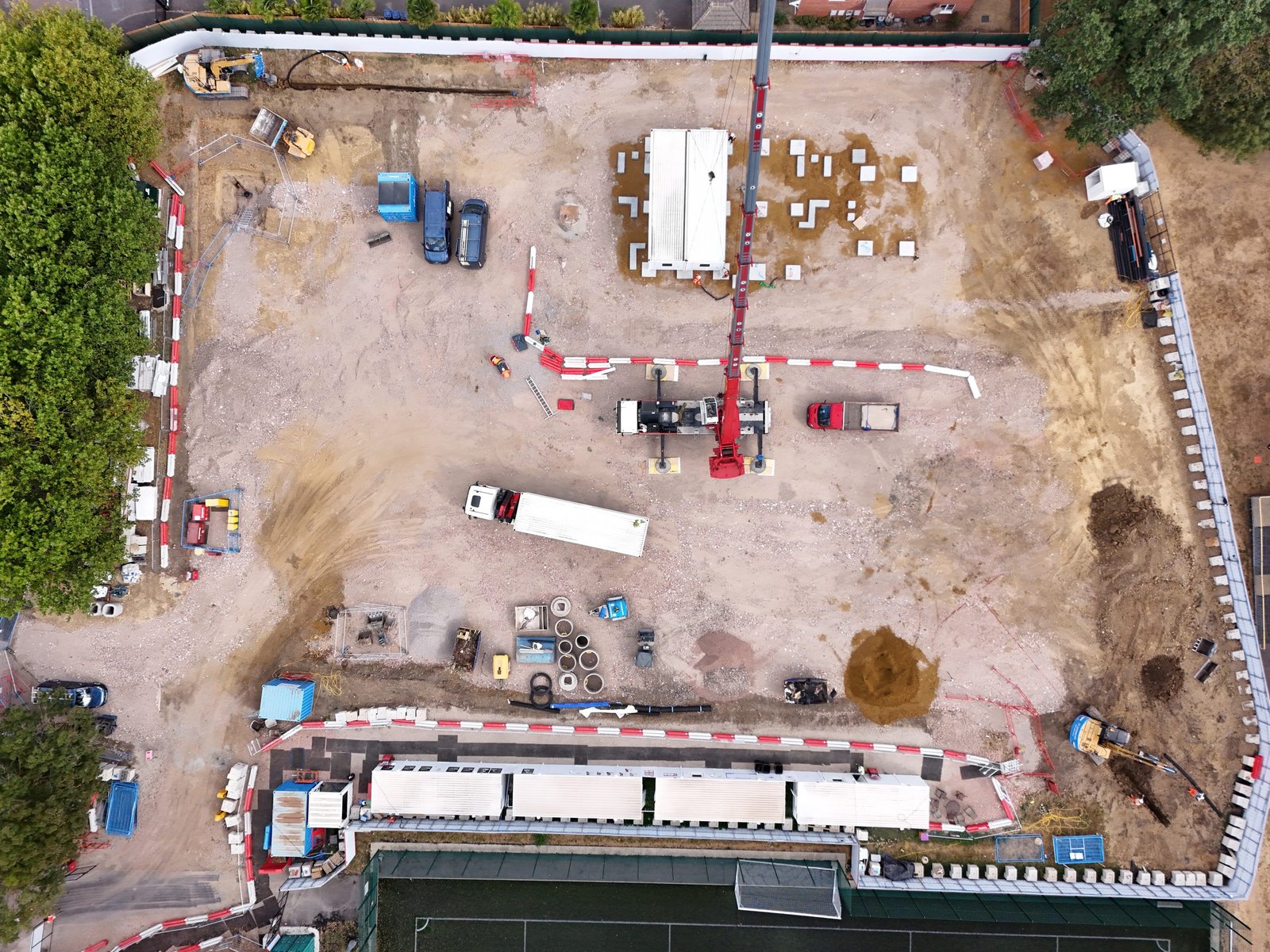
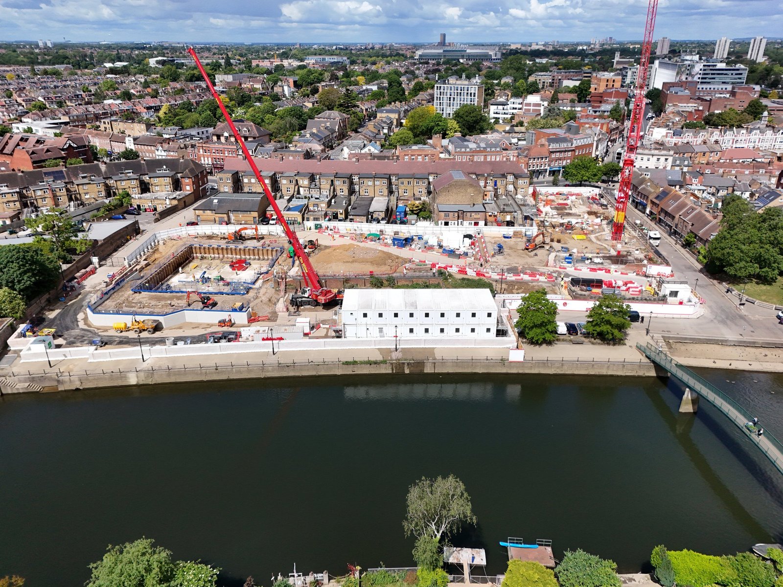
Complete top-down aerial view of a construction site

How this supports your project

  • Give planning and design teams current aerial context rather than relying only on historic imagery
  • Record visible conditions, access constraints and potential hazards before mobilisation or demolition
  • Create a shared starting point for consultants, contractors, clients and stakeholders
  • Capture imagery suitable for CGI backdrops, applications and early project communication

Typical deliverables

Site-context imageryExisting-condition recordPlanning visualsCGI backdrops

Measure what matters with useful site data.

Turn aerial and ground-based capture into measurable information planned around the accuracy, format and decisions your team requires.
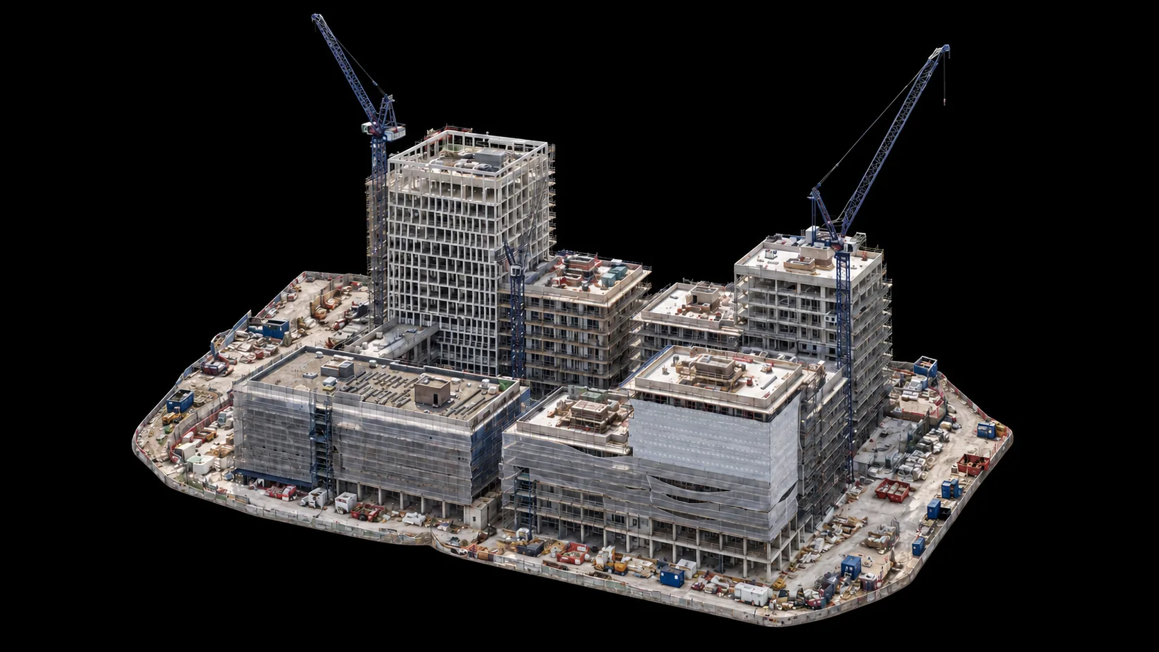
Photogrammetry model and measurable construction site data

How this supports your project

  • Support topographical understanding and targeted construction measurements
  • Create photogrammetric point clouds, mapped imagery and three-dimensional site models
  • Combine suitable capture methods, including LiDAR and photogrammetry, around the project brief
  • Establish repeatable baselines for design comparison, change review and as-built records

Typical deliverables

OrthomosaicsPoint clouds3D modelsSurface dataAnnotated measurements

Monitor change throughout construction.

Use repeat visits and consistent capture to create an accessible record of progress, changing conditions and completed work.
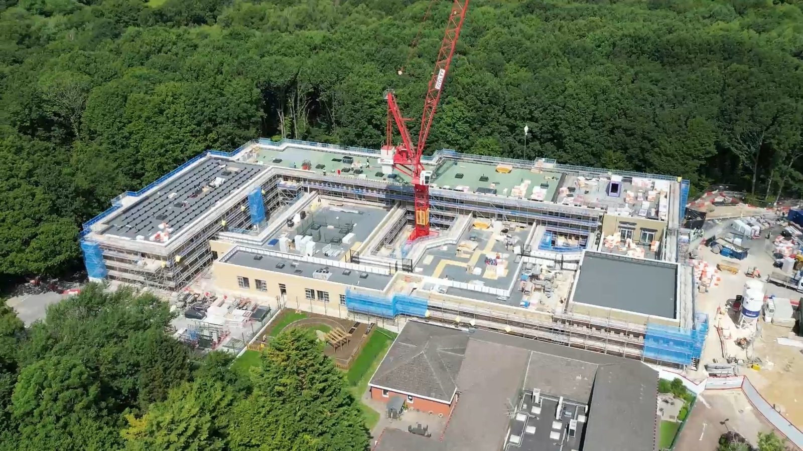
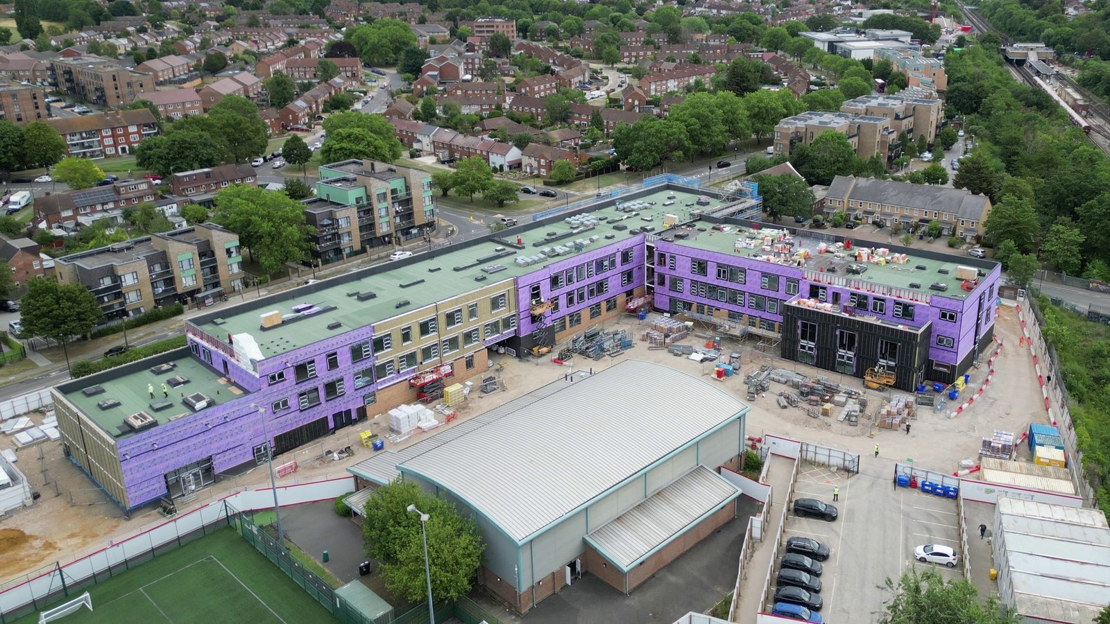
Pinn River SEND School Progress Film thumbnail

How this supports your project

  • Compare the site from consistent viewpoints across reporting periods
  • Review progress remotely and give project teams a current visual reference
  • Document milestones, installed work and areas that may later be covered
  • Build a chronological reality-capture and imagery record from mobilisation to handover

Typical deliverables

Repeat aerial imageryProgress comparisonsReality-capture updatesMilestone recordsTimestamped site documentation

Communicate progress with greater clarity.

Translate what is happening on site into concise visual updates for clients, investors, internal teams and the audiences following your project.
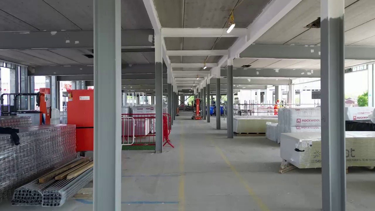
Islip Manor High School Progress Film thumbnail

How this supports your project

  • Make progress easier to understand for people who are not regularly present on site
  • Create client-ready photography, video and edited updates from regular visits
  • Use drone-lapse, milestone coverage and render comparisons to explain the project journey
  • Develop an archive that can become a finished case study or marketing film at completion

Typical deliverables

Client update imageryEdited progress filmsDrone-lapseRender comparisonsSocial edits

Construction projects, seen with clarity.

See how consistent visual documentation supports construction projects from the first site record to completed delivery.

What project teams say.

Feedback from construction progress films, milestone coverage and visual project updates.

Ready to move your project forward?

Share the brief for a tailored quote, or contact us with an initial question.