Proven experience
A growing portfolio of creative, survey and inspection work across construction, property, marine and infrastructure.
Vidda Aerial Imaging is a London-based drone company combining creative imagery, technical capture and practical problem solving across the built, marine and infrastructure environments.
Experienced people, suitable equipment and deliverables designed around the outcome your project needs.
A growing portfolio of creative, survey and inspection work across construction, property, marine and infrastructure.
Specialist aviation cover, with additional protection and higher limits available where a project requires them.
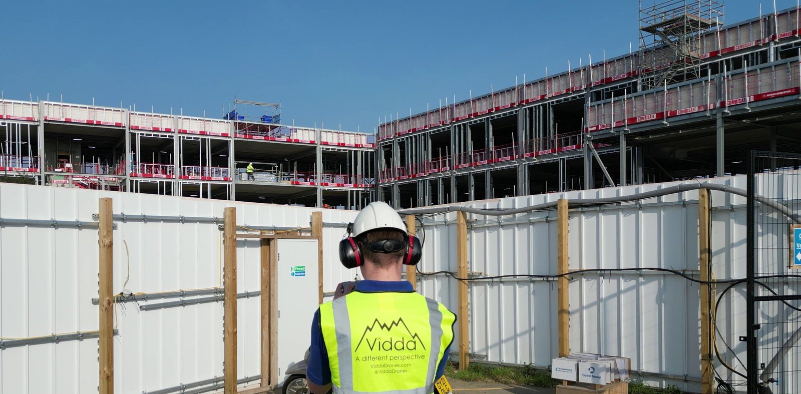
Aircraft and technology selected for the task, from compact drones in crowded areas to large waterproof payload-release platforms.
Responsive support for individual property owners, specialist contractors and major organisations alike.
Photography and film sit alongside inspection, thermal capture, photogrammetry, mapping and practical problem solving.
Experience planning flights around complex sites, controlled airspace, restricted zones and busy operating environments.
Straightforward advice, realistic timescales and useful updates from the first conversation through to delivery.
Careful planning, flight safety and task-specific risk assessments aligned with your site rules and safety standards.
Professional planning, safe operations and deliverables made for real project needs.
We begin with the decisions, viewpoints and outputs your project requires—not simply a flight.
Purpose, access and deliverables agreed before deployment.
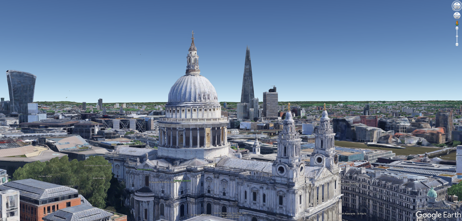
Review satellite and 3D imagery alongside site plans and renders before deployment.
Airspace, weather, site and operational constraints considered early.
Experienced people, appropriate equipment and active decision-making keep every operation focused on safety and the required outcome.
Skilled pilots select the right aircraft and payload for each environment, from constrained city sites to exposed marine operations.
Aircraft, weather, airspace and site activity are monitored throughout the operation, supported by disciplined pre-flight checks.
Flight decisions adapt to the required output, whether compelling imagery, consistent survey data or clear inspection evidence.
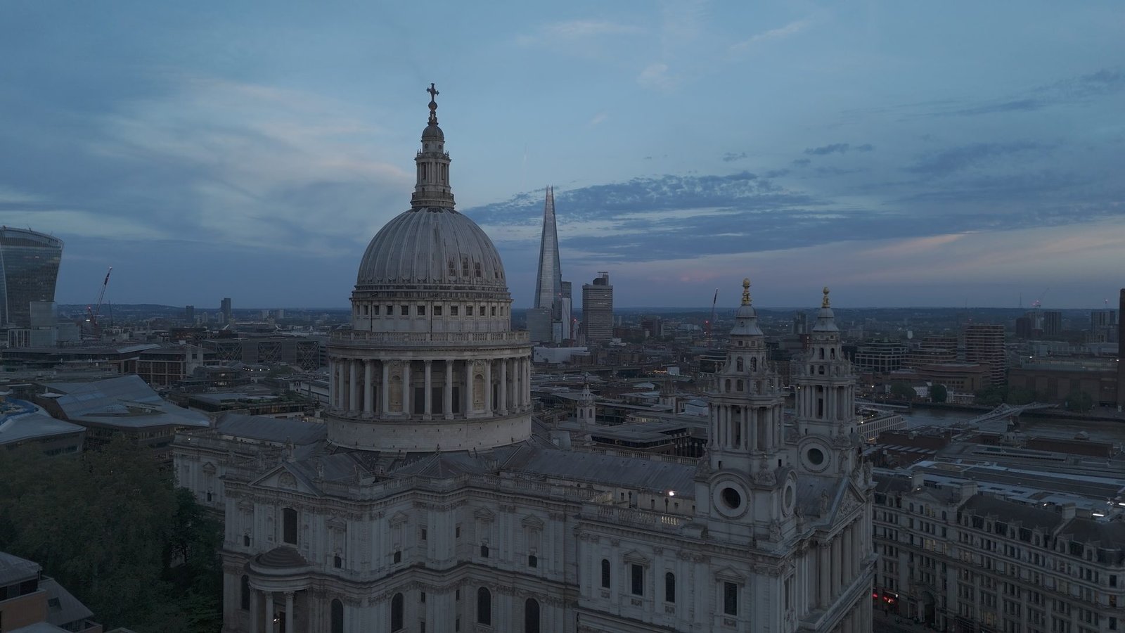
Secure, efficient delivery and responsive support make every output straightforward to receive, review and use.
Files and project data can be delivered through your client portal or via our secure transfer service.
Reports, survey outputs and edited media are prepared promptly around agreed project timescales.
Request editing adjustments, clarify findings or ask follow-up questions after delivery—we remain available while the work is put to use.
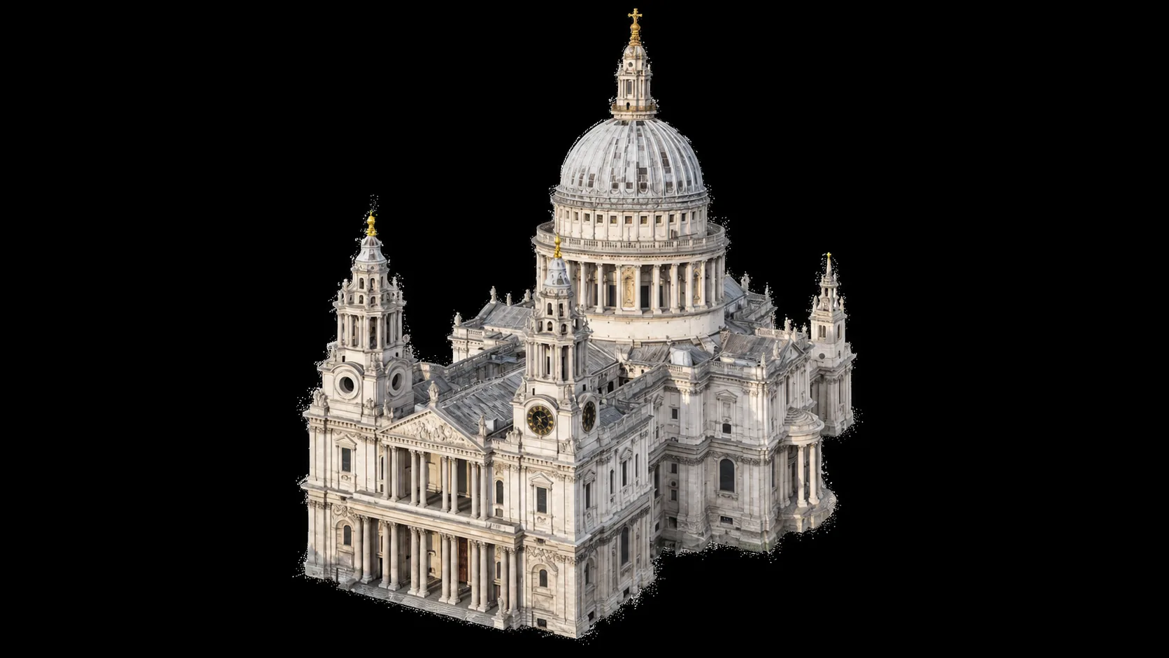
Practical answers about working with Vidda, from permissions and weather to outputs and delivery.
Our focus is drone photography, filming, surveying and inspection across London and the South East, with countrywide coverage available for suitable projects.
Exact flight feasibility depends on the site and airspace rather than the town alone. Send us the location and objective and we can review the practical requirements.
Ask about your locationBuilding specialist remote-operations knowledge into useful aerial work since 2023.
Earlier experience in remotely operated underwater vehicles established a practical foundation in remote systems, inspection tasks and challenging operating environments.
Vidda has completed numerous projects across London and countrywide, from regular construction-site visits to bespoke films, property content, surveys and inspections.
Development of the patent-pending Drone Lyne® system expanded our work into specialist line and payload deployment for marine, asset and difficult-access applications.
Creative imagery, technical evidence and practical innovation now come together as one connected aerial service shaped around the client’s outcome.
Share the brief for a tailored quote, or contact us with an initial question.