Vessel Photography
Considered aerial imagery showing design, scale, setting and operation for sales, charter, fleet and corporate communications.
Specialist marine drone photography, inspection and Drone Lyne® deployment around vessels, ports and coastal infrastructure—planned for exposed, complex operating environments.
Choose the task behind your marine operation to see how Vidda can shape the aircraft, capture or deployment method around it.
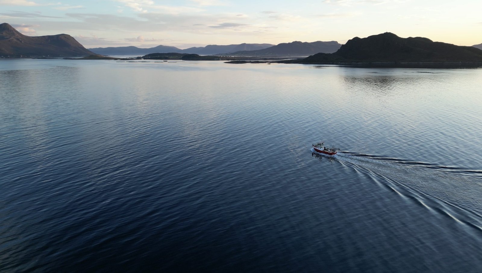
Create purposeful aerial photography and film for vessel marketing, fleet communications, shipyards, launches, sea trials and marine operations.
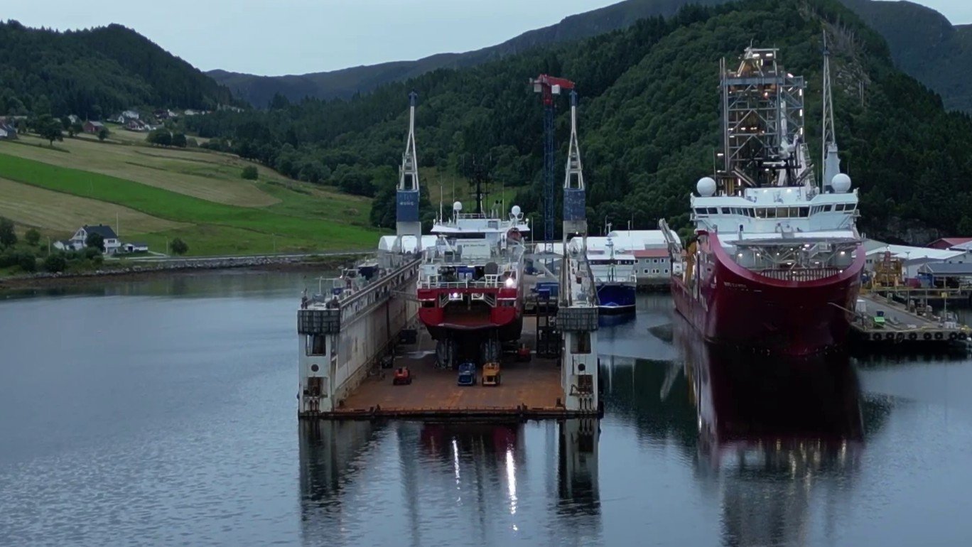
Collect close visual evidence around above-water vessel areas, ports, jetties and coastal structures to support engineers, surveyors and asset teams. Earlier visibility can help prioritise maintenance before docking and make expensive dock time more focused.
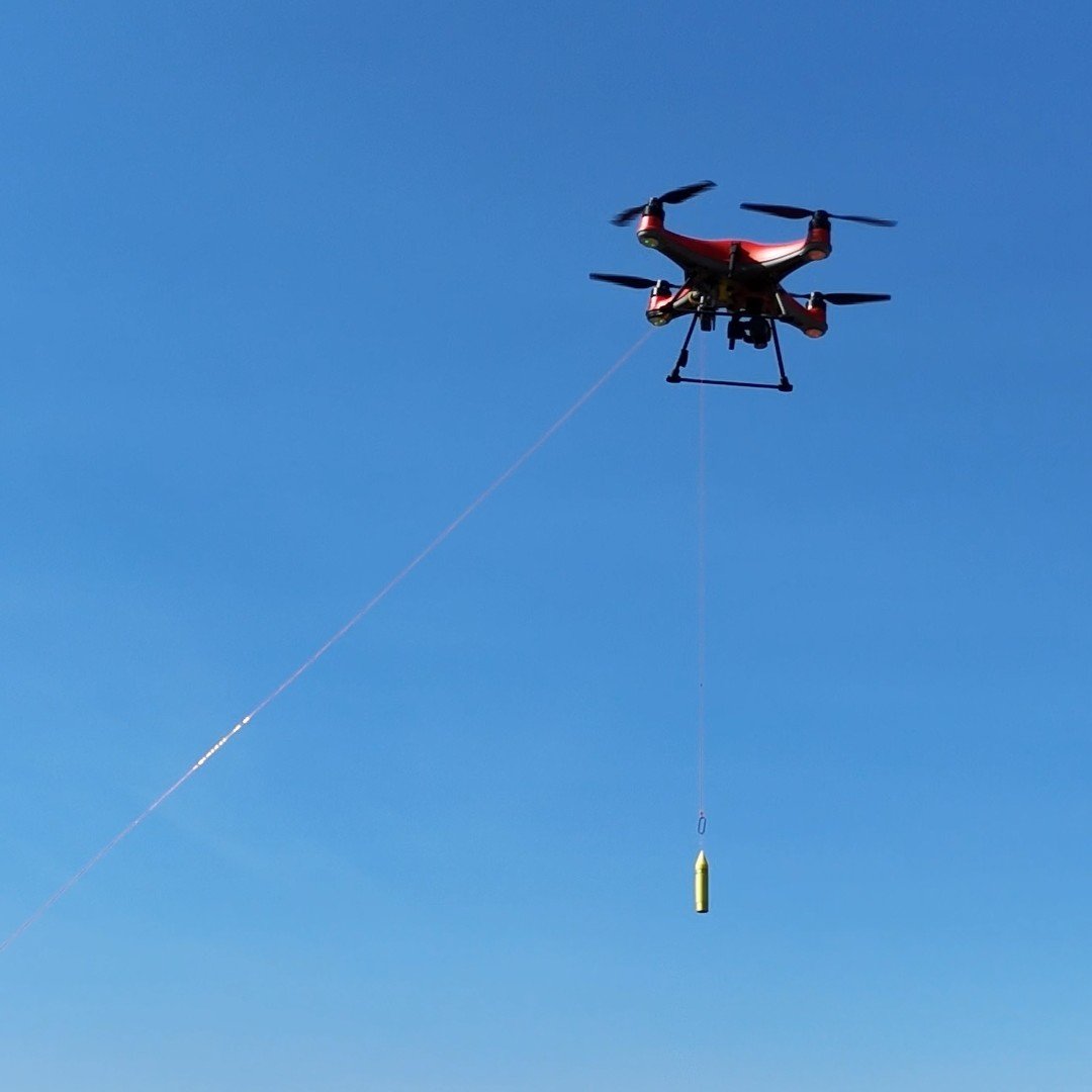
Explore specialist stand-off deployment where conventional access is difficult, with the line, payload, distance, aircraft and release method engineered around the task.
Marine photography and film can present a vessel at its best while creating a clear record of operations, progress and important moments.
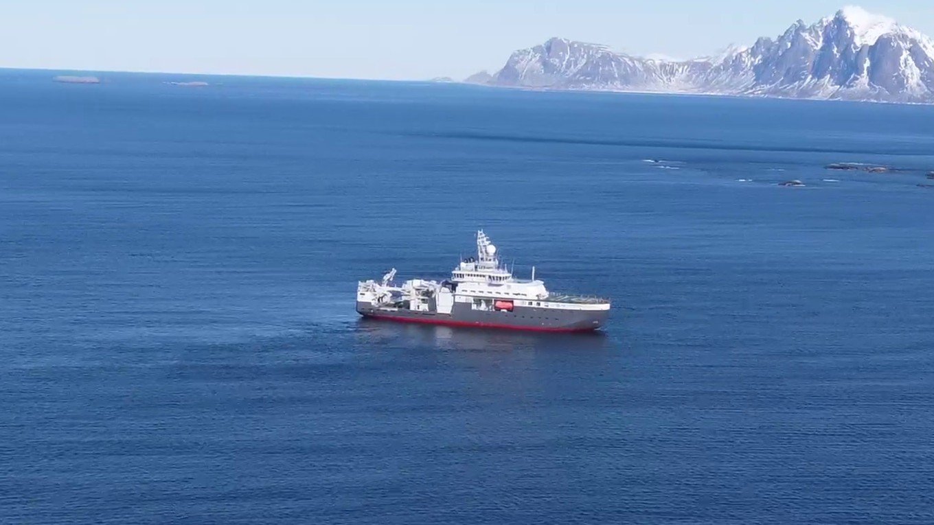
Considered aerial imagery showing design, scale, setting and operation for sales, charter, fleet and corporate communications.
Cinematic vessel movement, port activity and marine operations captured for campaigns, websites, presentations and social content.
Launches, sea trials, shipyard progress, arrivals, departures and other moments recorded as useful visual history.
Combine context, close visual detail and repeatable records around assets where water, exposure, access and ongoing operations shape the inspection.
Hull areas above the waterline, superstructures, decks, masts, antennas, cranes, hatch covers, coatings and visible deterioration.
Jetties, piers, quay walls, loading arms, pipework, mooring and breasting dolphins, bollards, fenders, cranes and lock gates.
Sea walls, revetments, breakwaters, flood defences, beaches, cliffs, erosion and repeat records following storms or maintenance.
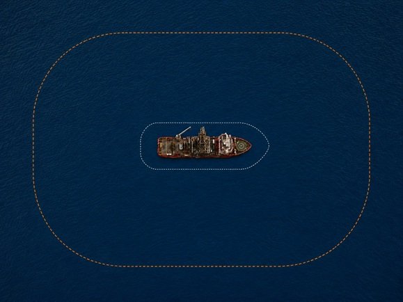
Drone Lyne® is Vidda’s patent-pending system for controlled line and payload placement at a distance from a vessel, shoreline or difficult-access marine structure. The image illustrates its extended working reach: the white line shows a conventional shipboard reach, while the orange line shows the wider area that Drone Lyne can potentially access.
Messenger and pilot lines, vessel-to-shore connections, stand-off placement and bespoke line-routing or recovery challenges.
Sensors, cameras, markers, lightweight monitoring equipment, safety items and other client-defined payloads.
Outputs are agreed around whether the purpose is communication, inspection, measurement or a repeatable condition record.
Detailed vessel, port and coastal photography organised around assets and inspection areas.
Inspection footage and operational film preserving context between individual viewpoints.
Orthomosaics, photogrammetry and 3D context for ports, jetties and coastal change where appropriate.
Compatible viewpoints and survey outputs for condition, erosion, maintenance and storm-damage comparison.
Tagged imagery and structured records ready for engineers, surveyors and asset teams.
Organised media and technical outputs securely shared with authorised stakeholders.
A controlled workflow built around the task, environment and people responsible for the vessel or asset.
Confirm whether the objective is capture, inspection or deployment and what a useful outcome looks like.
Review the vessel or asset, water, weather, movement, access, airspace and port permissions.
Select the aircraft, sensor, line, payload and operating method around the marine environment.
Conduct the task while continually reassessing conditions, vessel activity and the evidence or placement achieved.
Supply the agreed imagery, technical record or deployment documentation securely to the project team.
Practical answers about vessels, water, inspection boundaries, permissions and Drone Lyne® deployment.
Tell us what you need to capture, inspect or deploy. We’ll assess the vessel, environment and objective before recommending the right marine drone operation.