Inform

Asset Inspection.

Based in London, Vidda provides visual, thermal and spatial drone asset inspection for utilities, renewable energy, industrial sites and difficult-access infrastructure—planned around the evidence your asset team needs.

What do you need to understand?

Select the objective behind your inspection to see how aerial evidence can support the next decision.
Investigate a Concern drone asset inspection

Investigate a suspected problem.

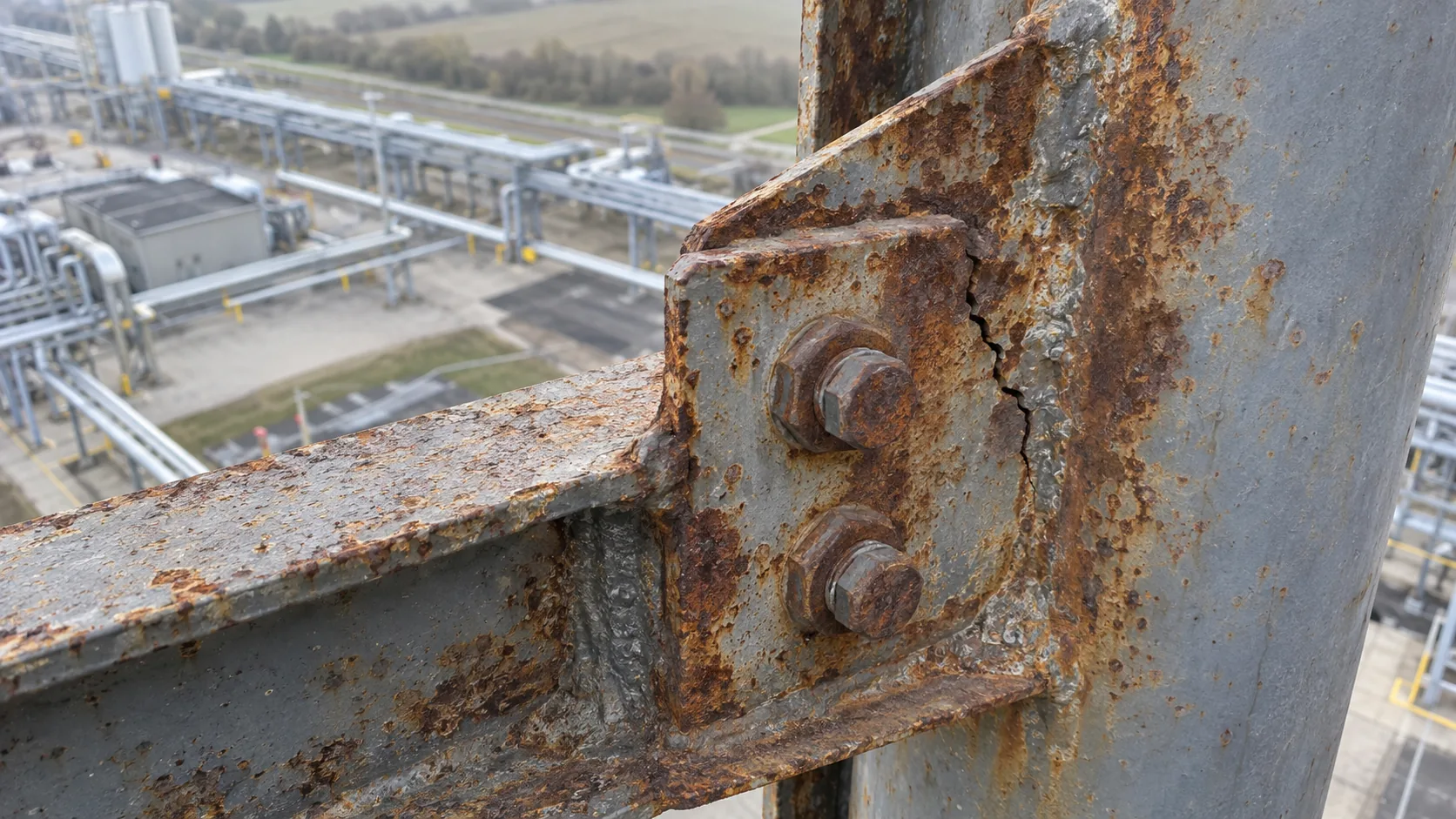
Target known faults, damage or abnormal behaviour with close visual evidence planned around the questions your engineers need to answer.
  • Detailed imagery of difficult-access components and visible defects
  • Thermal capture where temperature differences can reveal anomalies
  • Adaptive inspection when further areas of concern become visible
Discuss your inspection
Record Condition drone asset inspection

Understand the condition of your asset.

Create an organised, dated baseline for maintenance planning, handover, insurance, third-party works or future comparison.
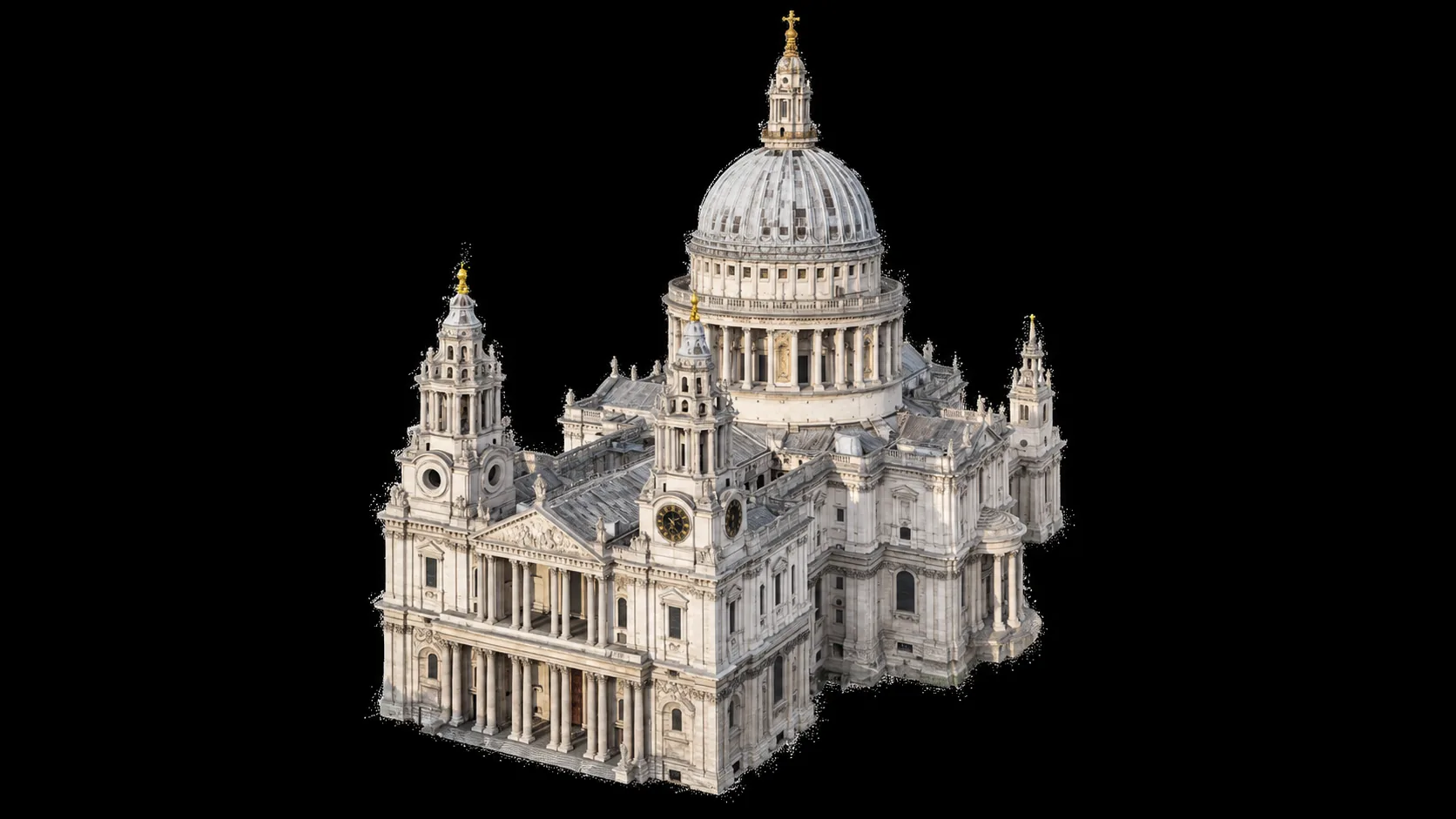
  • Asset-wide context combined with targeted close-up capture
  • Photogrammetry, orthomosaics or structured image sets where appropriate
  • Evidence organised for engineering and asset-management teams
Discuss your inspection
Monitor Change drone asset inspection

Monitor change over time.

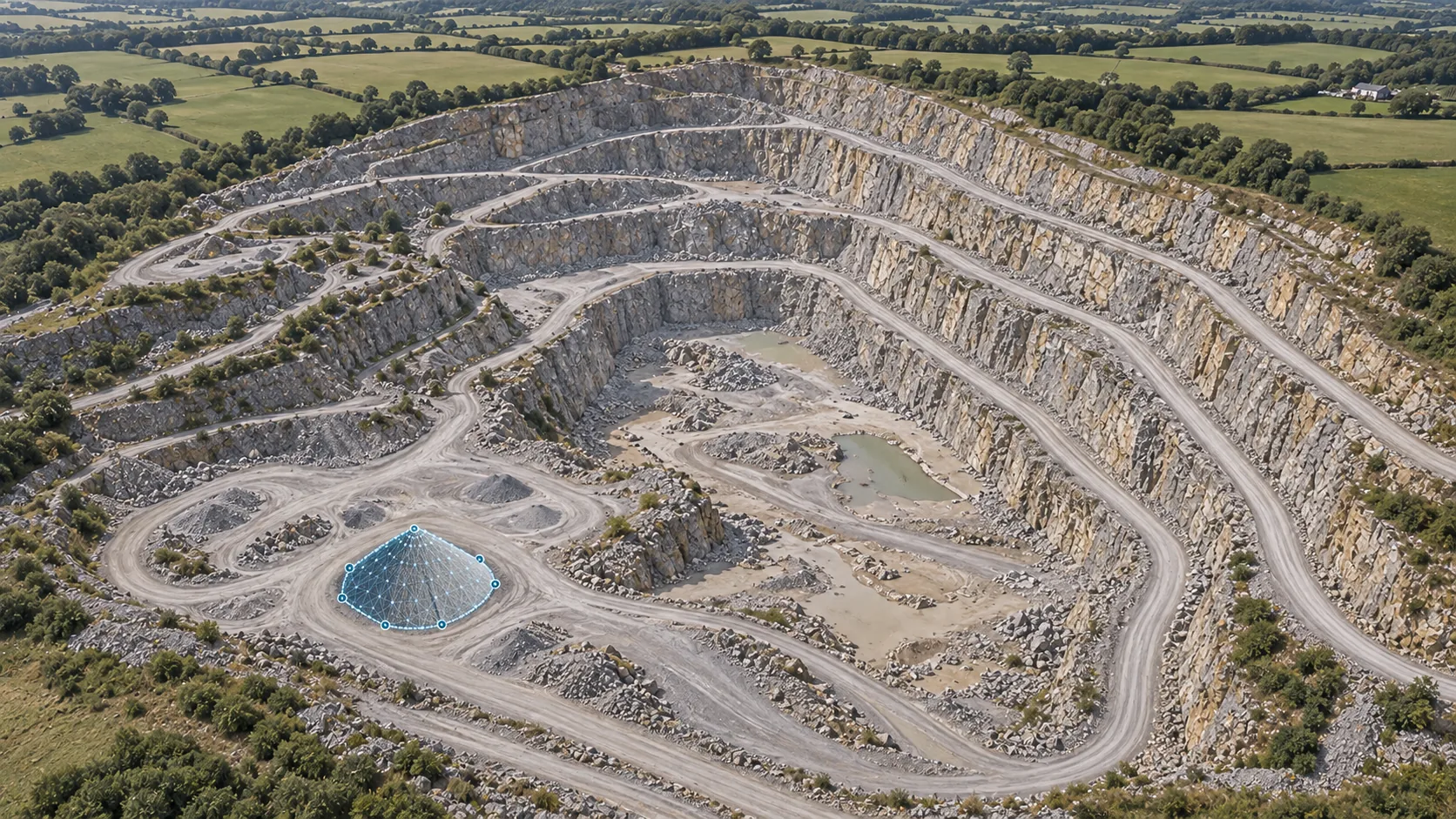
Repeat compatible capture so deterioration, maintenance, stock movements or environmental change can be compared between inspection dates.

  • Repeat viewpoints, mapped flight paths and consistent coverage
  • Change detection across imagery, models and orthomosaics
  • Volumetric comparison for stockpiles, earthworks and quarry operations
Discuss your inspection
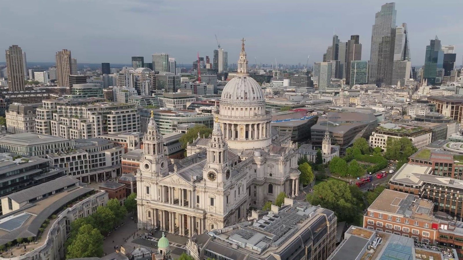
Heritage Sites drone inspection

Heritage Sites

Inspect historic buildings, listed structures, monuments and heritage sites without introducing unnecessary contact with delicate or difficult-access fabric. High-resolution imagery and 3D capture can create a detailed record for conservation teams, surveyors and specialist contractors.
  • Close inspection of façades, roofs, towers and architectural details
  • Dated condition records for conservation and maintenance planning
  • Photogrammetric models and mapped imagery where appropriate
  • Evidence of weathering, cracking, displacement and material loss
  • Repeat capture to document deterioration or completed conservation work
Discuss this asset
Renewable Energy drone inspection

Renewable Energy

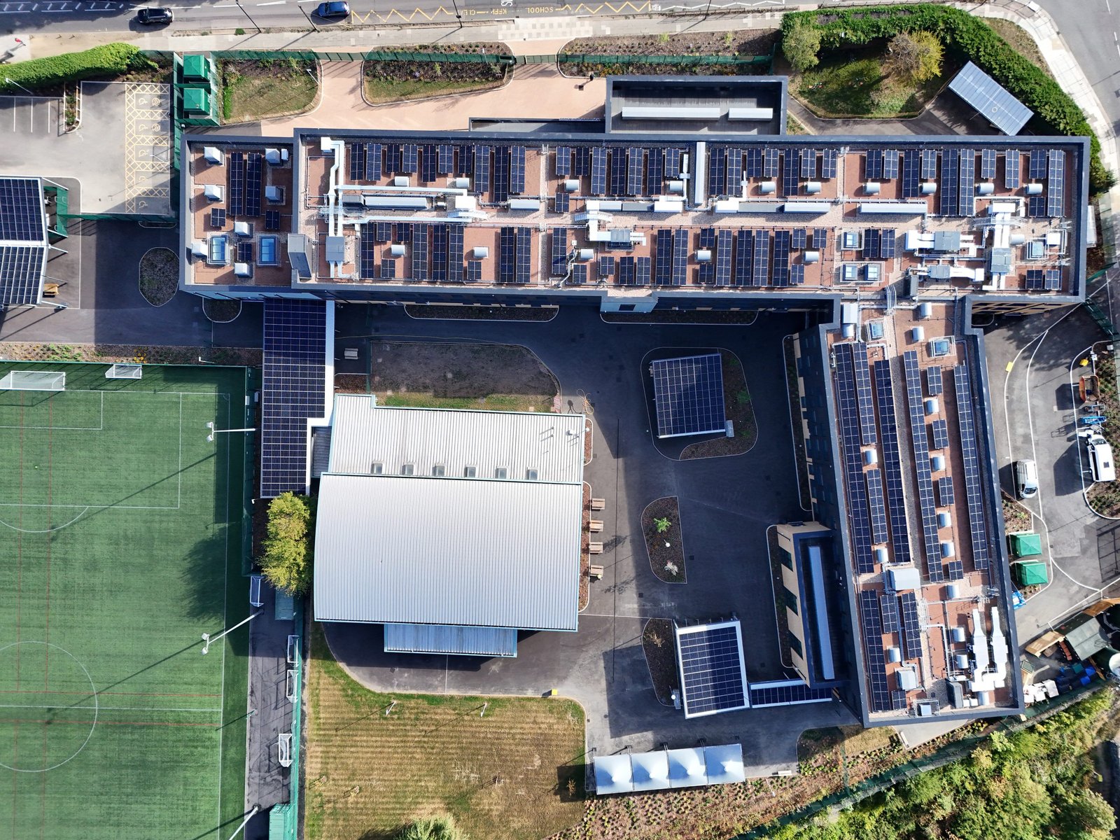
Combine detailed RGB imagery with suitable thermal capture to inspect wind turbines, solar panels and wider renewable-energy sites. Each survey is planned around the asset, operating state, environmental conditions and maintenance question.
  • Wind-turbine blade, nacelle and tower imagery
  • Thermal solar-panel inspection for module and cell anomalies
  • Orthomosaic solar-farm mapping for array context and maintenance records
Discuss this asset
Industrial Assets drone inspection

Industrial Assets

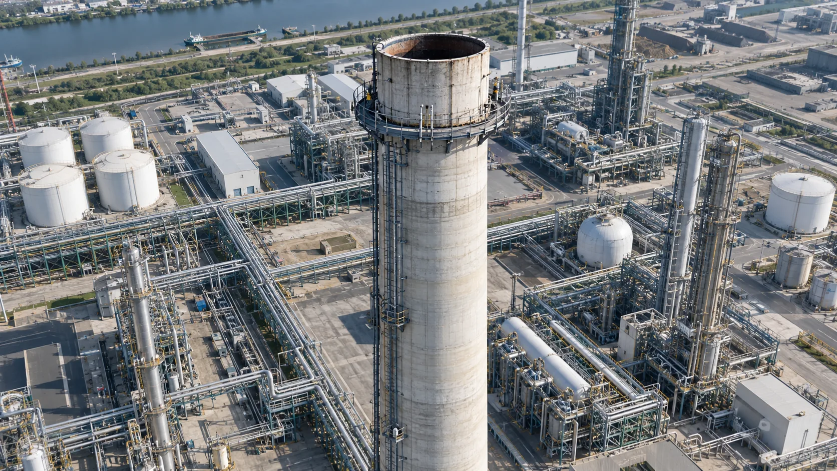
Support engineers with industrial drone inspection around chemical plants, power stations, pipework, tanks, stacks, silos, cooling towers and external process infrastructure. The flight and output are shaped around operating constraints, hazards and the components that matter. Where conventional capture is not enough, potential Drone Lyne® applications can be explored for specialist payload deployment around difficult-access assets.
  • Close visual and thermal evidence for engineer review
  • Dated plant condition and shutdown records
  • Photogrammetric models where geometry and access permit
  • Drone Lyne® options for specialist deployment and problem-solving
Discuss this asset
Infrastructure drone inspection

Infrastructure

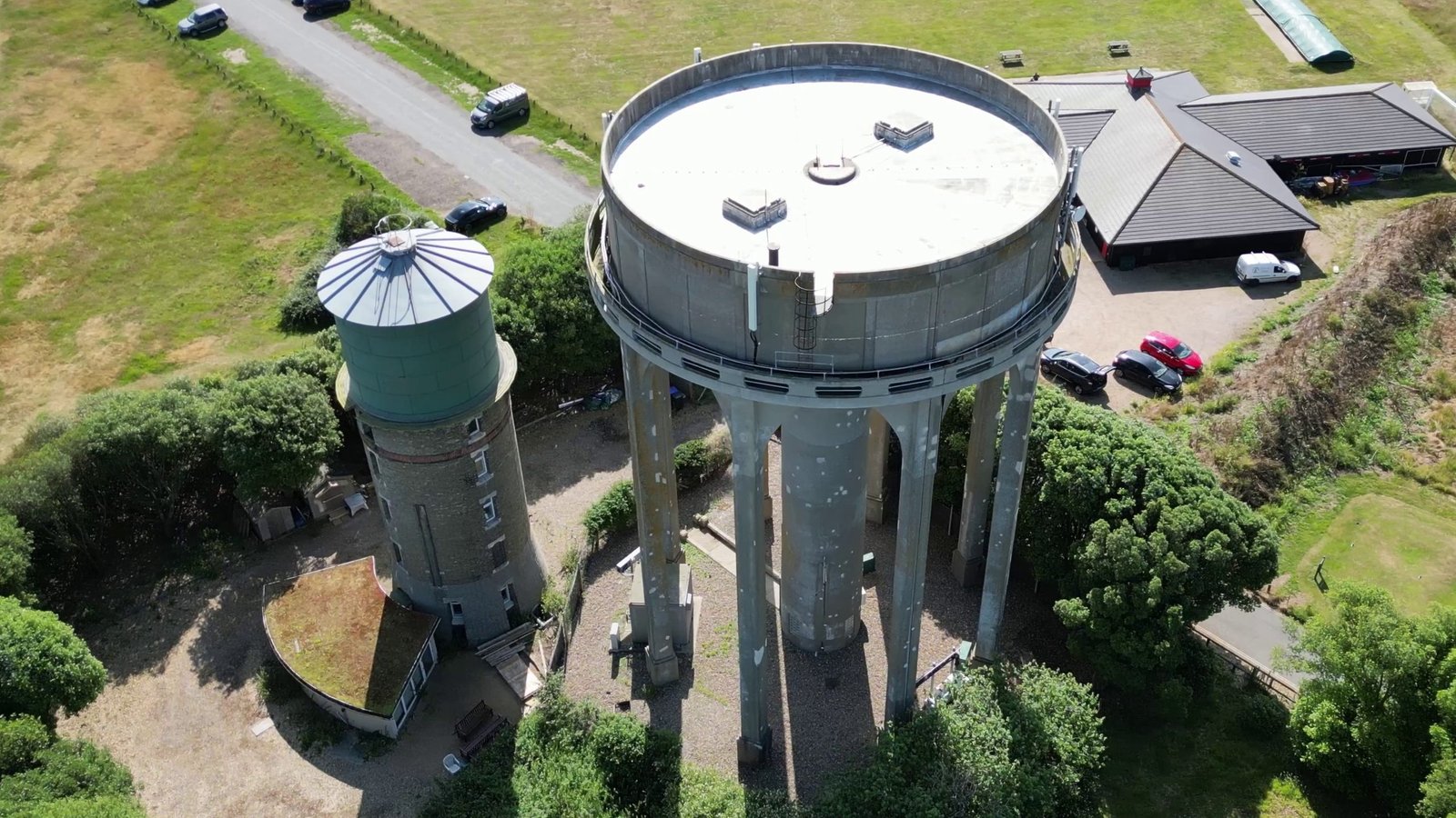
Survey bridges, viaducts, water towers, quarries, stockpiles, earthworks and difficult terrain using close visual evidence, mapped imagery, photogrammetry and repeatable capture. Operations and outputs are planned around the structure, site controls and the engineering or asset-management decision.
  • Orthomosaics and photogrammetric surfaces for quarry and site context
  • Stockpile volumes and repeat comparison of material movement
  • Quarry-face, slope, haul-road and drainage records
  • Structural-detail imagery for bridges, viaducts, water towers, gantries and cranes
  • Repeatable evidence for maintenance and change monitoring
Discuss this asset
Communications drone inspection

Communications

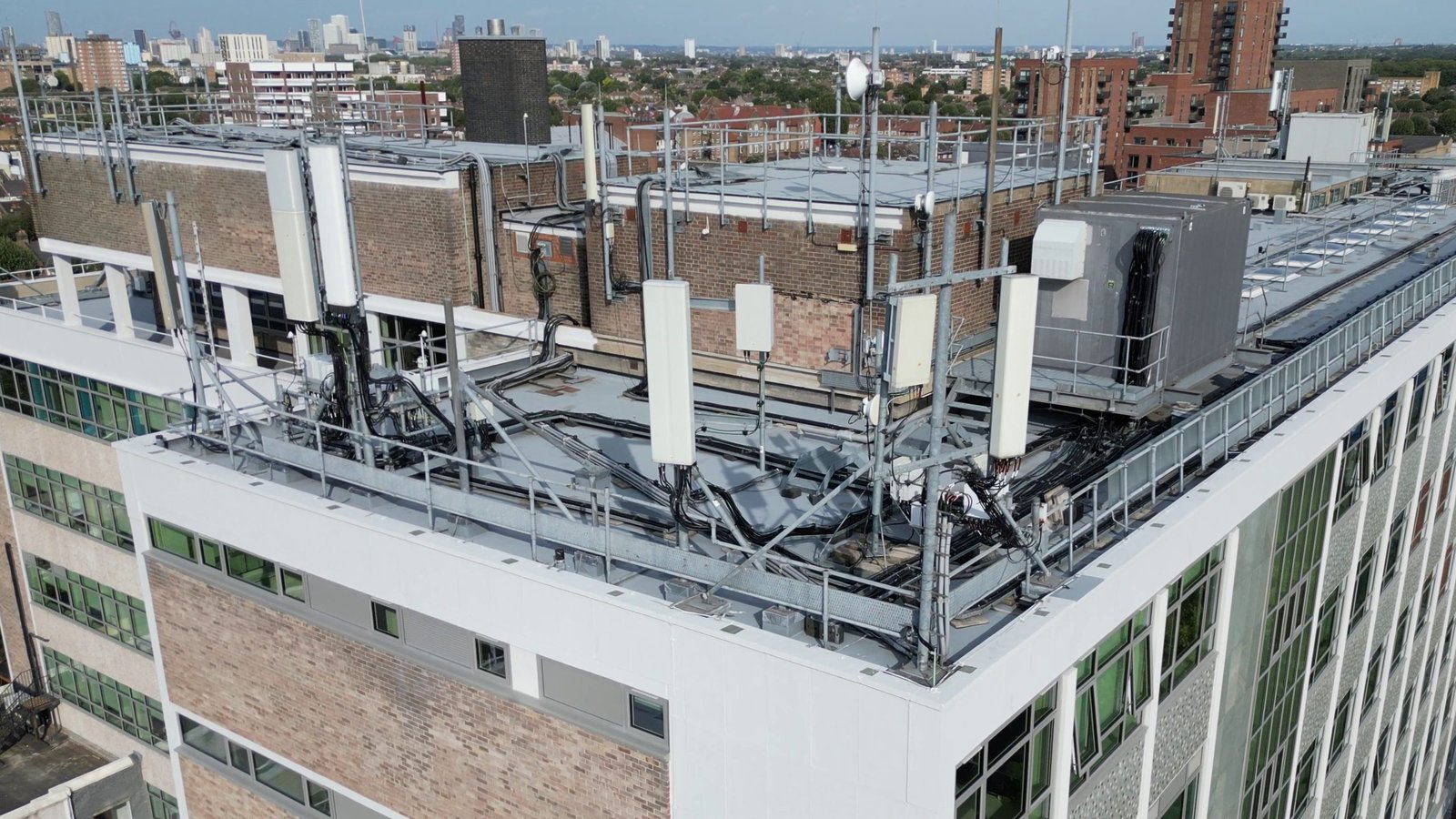
Inspect telecom towers, communication masts, antennas, mounts, cabling and rooftop equipment from useful close-up angles. Georeferenced and organised visual records can support maintenance planning, installation verification and comparison after severe weather or third-party works.
  • High-resolution telecom tower and antenna imagery
  • Tower-wide context with tagged component details
  • Repeatable records for mast condition monitoring
Discuss this asset
Energy Networks drone inspection

Energy Networks

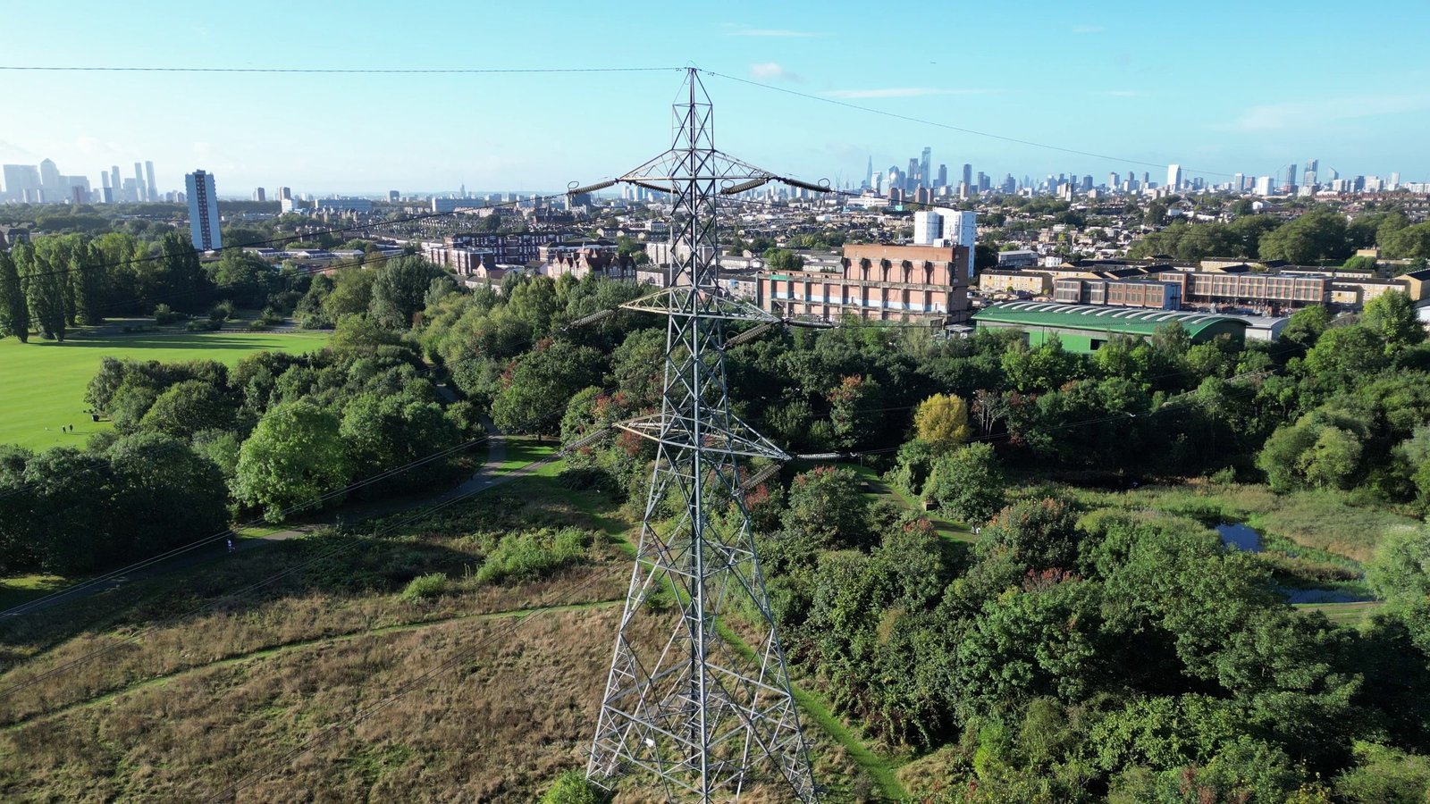
Capture condition evidence around power lines, pylons, conductors, insulators, connections and substations while planning operations around live electrical infrastructure, site controls and the asset owner’s safety requirements.

  • Powerline, pylon and elevated-component inspection
  • Thermal anomaly capture for electrical assets where suitable
  • Mapped and repeatable utility-corridor evidence
Discuss this asset

From imagery to technical outputs.

The capture method should follow the decision, measurement or maintenance task—not the other way around.

Photogrammetry & 3D Models

Overlapping imagery processed into measurable 3D context for condition review, spatial understanding and comparison.

Orthomosaic Mapping

Geometrically corrected aerial mapping that provides consistent site-wide context for arrays, corridors, quarries and industrial sites.

Stockpile Volumetrics

Photogrammetric surfaces used to estimate stockpile and earthwork volumes, subject to suitable control, visibility and accuracy requirements.

Thermal Imaging

Temperature-pattern data for solar modules, electrical assets, building fabric and industrial equipment when conditions support useful capture.

Repeatable Monitoring

Consistent routes, viewpoints and outputs that help teams compare condition, quantities and visible change between dates.

Structured Evidence

Dated imagery, annotated findings and organised asset records prepared for engineers, contractors and maintenance teams.

Available deliverables and formats

Depending on the brief, outputs can include high-resolution RGB imagery, radiometric thermal files, annotated records, GeoTIFF orthomosaics, point clouds, textured 3D meshes, surface models and volumetric reports. Coordinate systems, file formats and required accuracy are agreed before capture.

Why use drones for asset inspection?

Drones provide rapid access to useful viewpoints and consistent data, complementing engineers, surveyors and specialist inspection teams rather than replacing them.

Reduce preliminary work at height

Collect close visual evidence without sending personnel onto every elevated or difficult-access part of an asset solely to establish its visible condition.

Reduce access requirements

Drone inspection may reduce early reliance on scaffolding, rope access, MEWPs or shutdown access while helping teams target where physical inspection is still required.

Limit operational disruption

Plan focused capture around site controls, operating windows and maintenance programmes so useful evidence can be collected with proportionate disruption.

Build a comparable record

Repeat routes, viewpoints and mapped outputs to track visible deterioration, repairs, quantities and change across the life of an asset.

CAA licensed
Qualified commercial operations
£5m insurance
Specialist aviation cover
Drone Permits
For City Locations
Site risk planning
Purposeful pre-flight assessment

How your asset inspection works.

A technical workflow shaped around the asset, operating environment and required deliverable.

01

Define

Confirm the asset, suspected issue, operating constraints and the decisions the evidence must support.

02

Plan

Review mapping, airspace, hazards, access, asset geometry, sensors and the accuracy or repeatability required.

03

Inspect

Capture planned visual, thermal or spatial data while adapting safely to visible defects and site conditions.

04

Process

Organise imagery and produce the agreed outputs, from annotated records to orthomosaics, models or volume calculations.

05

Deliver

Securely share structured outputs that your engineers, contractors and asset teams can review and retain.

Asset inspection questions.

Practical answers about scope, technical outputs, repeatability and professional interpretation.

The asset location, type, suspected issue, access arrangements, operating constraints and required output are a useful starting point. Existing drawings, asset IDs and example defects can help refine the capture plan.

Yes, where the site, visibility, control and accuracy requirements are suitable. We agree the intended use and required output before selecting the capture and processing workflow.

Thermal imagery records temperature patterns and anomalies that may indicate areas requiring further investigation. Useful results depend on the asset, loading, environmental conditions, sensor and interpretation.

Yes. Flight routes, viewpoints, coverage and outputs can be planned for repeat visits, helping teams compare visible condition, repairs, stockpiles or site change over time.

Accuracy depends on the sensor, flight geometry, survey control, coordinate system, processing method and intended use. We agree whether the requirement is visual evidence, relative measurement or a controlled survey output before planning the work.

RTK positioning, ground-control points and independent checkpoints can be incorporated where appropriate to the required output. The control strategy is agreed around the site, accuracy requirement and how the data will be used.

Often, but not automatically. We coordinate with the asset owner around exclusion areas, permits, electromagnetic or process hazards, moving equipment and operating windows. Some assets may require isolation or a planned shutdown.

Wind, precipitation, visibility, temperature and surface conditions can affect flight safety and data quality. Thermal, mapping and close inspection work may each require different conditions, so unsuitable capture is rescheduled rather than compromised.

Turnaround depends on the scale of the asset and processing required. Organised imagery can be delivered more quickly than controlled mapping, photogrammetry, thermal interpretation or volumetric reporting. The programme is agreed with the scope.

No. Drone capture provides access and evidence. Engineering conclusions, intrusive testing and formal certification remain with the appropriately qualified asset specialist unless separately included in the agreed team.

Outputs can include organised high-resolution imagery, video, annotated records, thermal files, orthomosaics, point clouds, 3D models or agreed reports, securely shared online.

Ready to understand your asset?

Tell us about the asset, operating environment and evidence your team needs. We’ll help shape the right inspection and technical output.